|
Image Gallery |
|||
|
Category: Airborne Laserscanning Applications Terrestrial Laserscanning |
|||
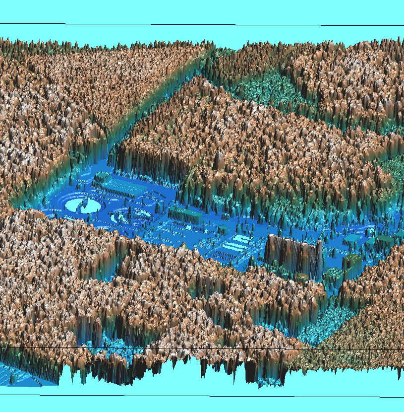 Forest stand visualization based on airborn laserscanner data after post-processing |  DSM surface model with RGB data as texture |  DTM surface model | 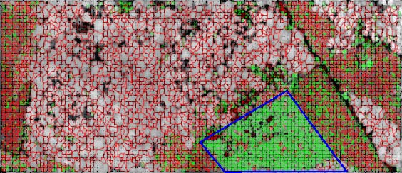 Crowns of trees classified as deciduous or conifer tree (marked in red or green outline). The blue marked area is identified as a young Douglas-fir stand |
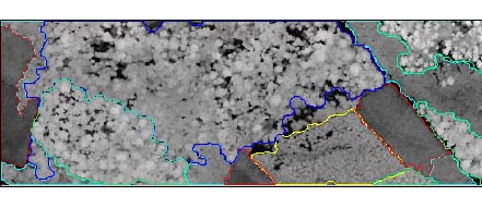 Automatically extracted forest stands based on digital surface models without using multi spectral data | 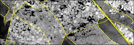 Forest stand separation based on FOGIS | 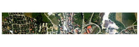 Overlay of RGB texture and DSM for the sample region Engen-Stadt | 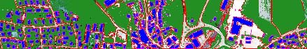 Automatically extracted buildings (blue), vegetation (green) and roads (white) |